


The Sustainable Minerals Institute’s (SMI) Centre for Mined Land Rehabilitation (CMLR) has developed a groundbreaking tool to enhance stakeholders’ understanding of how different mine site rehabilitation approaches can affect regional ecosystems.
Created for use by the Office of the Queensland Mine Rehabilitation Commissioner, the tool utilises data-informed environmental maps to analyse how two types of rehabilitation — rehabilitation to agriculture or restoration to native ecosystems — impact surrounding ecosystems.
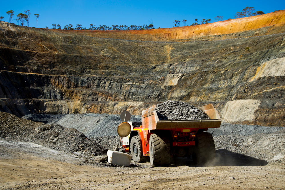
In a study accompanying its release, researchers applied the tool to mines in Queensland’s Fitzroy region, where over 120,000 hectares of land have been disturbed by mining activities.
Dr Lorna Hernandez-Santin, Research Fellow at CMLR, highlighted the tool’s potential to improve regional decision-making, stating: “There is increasing pressure on both government and the mining industry to improve biodiversity and ecosystems in mining-impacted regions.
“The tool we’ve developed can help achieve better biodiversity outcomes at a regional scale by providing the government with a data-based model of how the rehabilitation of individual mines could enhance the connectivity of their landscapes.”
The tool rates connectivity improvement using a three-level system (green, yellow, and red) to compare native restoration with agriculture rehabilitation, allowing for both local and regional analysis.
Professor Peter Erskine, Centre Director of CMLR, emphasised the tool’s role in aiding companies’ decision-making processes regarding rehabilitation strategies, stating: “Intuitively, native restoration is the option which we found to be generally most beneficial. However, that was not the case for all areas.
“That means that companies and government regulators can use this tool to collectively understand the cost-effectiveness and potential benefits from choosing different rehabilitation outcomes.”
Dr Hernandez-Santin explained the data-driven approach of the tool, stating: “The connectivity model uses ‘circuit theory’ to indicate how animals move through the landscape based on which path has the least resistance, analogous to electric currents.
“The resistance in the connectivity model is derived from a species distribution model, which uses different data layers that were compiled from public and private databases, including elevation, climate data, species location data, vegetation cover data, and land use maps.”
The tool provides a comprehensive and scientifically rigorous approach to mine site rehabilitation, ensuring that decisions are informed by data and aimed at enhancing regional ecosystems and biodiversity.


