


Rock chip and soil sampling programs are underway at QX Resources Limited’s Turner River and Western Shaw Lithium projects located in the Pilbara, Western Australia.
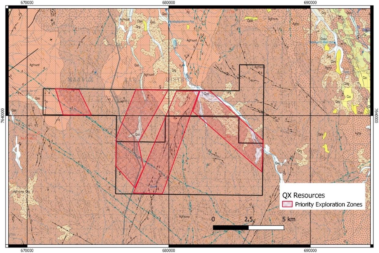
The sampling program follows from a detailed interpretation of remote satellite imagery and geophysical datasets which had identified numerous priority areas at Turner River, Western Shaw and Split Rock.
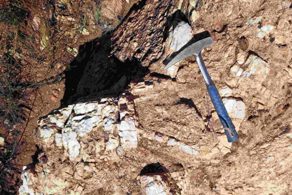
The program will comprise field reconnaissance and mapping aimed at identifying pegmatite dykes with associated soil and rock chip sampling within the priority prospective areas identified at Turner River and Western Shaw. It is anticipated that the first phase of sampling will be completed in the next six days with assays to be submitted thereafter. A more extensive, two-week program is scheduled at the end of April with further samples to be submitted for assaying. Based on results, QX will then seek heritage clearance and approval for program of works for drilling.
Executive Chairman Maurice Feilich said the program marks the first phase of exploration across the company’s tenements in the Pilbara Lithium province.
“As communicated earlier in the year, we anticipate aggressively ramping up works and quickly defining the first drill-ready targets on our permitted and granted leases. QX has assembled an enviable package of projects and we are now committed to proving up their value with comprehensive exploration.”
As reported on 11 March 2021, the company secured a $2.85 million investment from new cornerstone investor Suzhou TA&A Ultra Clean Technology Co., Ltd, with funds to be deployed primarily to advance the development of QX Resources’ portfolio of exploration assets in the Pilbara lithium province. The first two sampling programs represent the first phase of exploration with more extensive works to be undertaken when assays are received.
At Turner River, the review of the remote sensing data suggests four preferred areas for follow-up investigation and sampling programs. Principal responses were along the central north-north east trending structural zone, with the central two zones parallel the strike of the Wodgina lithium mine.
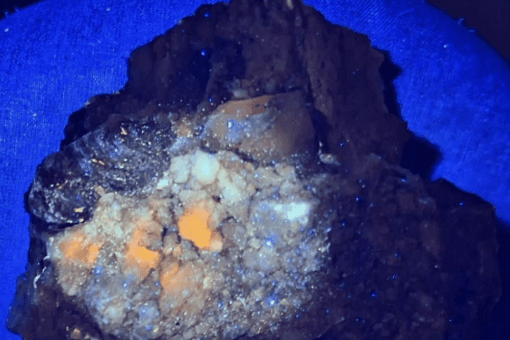
Previous reconnaissance in the central zone confirmed the presence of shallow dipping pegmatite dykes. The current field program aims to investigate the spatial extent of this previously identified pegmatite dyke swarm both laterally and along strike as well as undertaking systematic sampling to test the mineralogical variability of the pegmatites and their potential to host lithium bearing minerals. In addition, mapping and sampling will be undertaken in the other priority areas aimed at identifying additional pegmatite dykes or dyke swarms. Both tin and tantalum occurrences have been historically reported within the tenements.
The Western Shaw project area comprises a well-developed greenstone belt which appears to relate to a chert horizon within a mafic/ultramafic sequence and some felsic units present within the sequence; The belt is bounded on the east by multiple phases of granite. Of particular significance is the Coordina tin and tantalite prospects located barely 10 km to the east of the project tenements, and which are hosted by the Callina Felsic Intrusion. These felsic intrusions and associated granites are considered potentially prospective for lithium bearing pegmatites and are being targeted during the current exploration program. Field work will consist of reconnaissance mapping and rock chip sampling.