


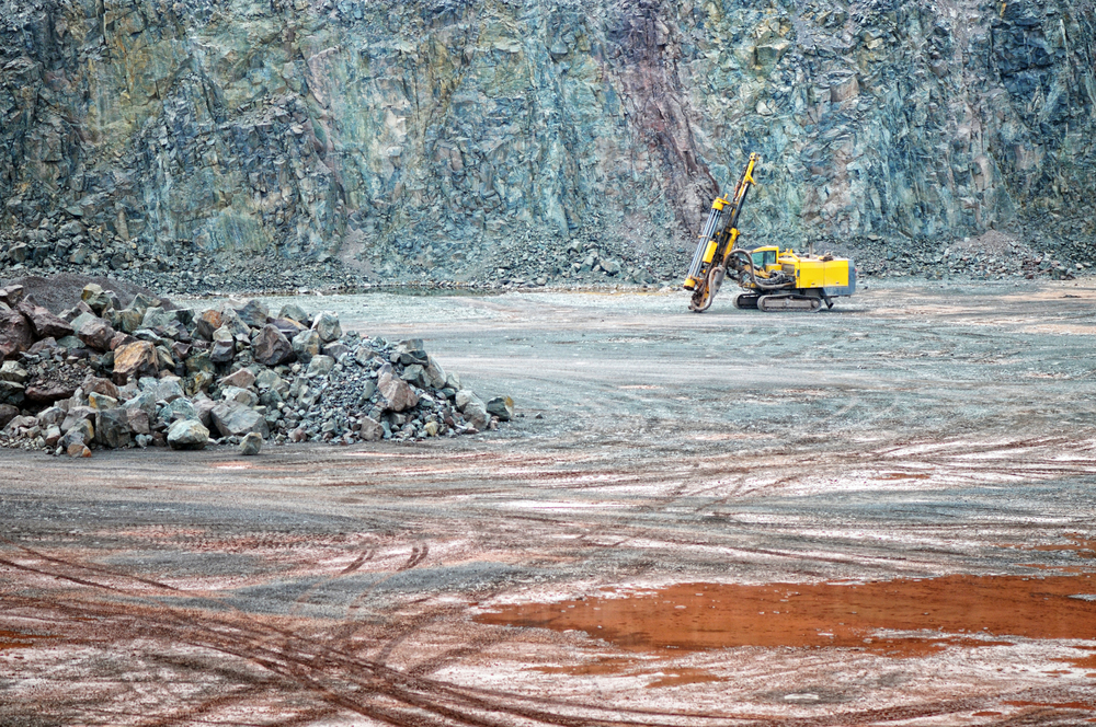
Basin Energy Limited successfully completed a 3D inversion of historical geophysical datasets at its Marshall Uranium Project, situated in the southeastern region of the globally renowned Athabasca Basin in Canada.
The analysis has led to the identification of multiple priority anomalies, located both above and below the Athabasca unconformity, present in both the sandstone and basement stratigraphy at Marshall.
The company says the recent geophysical analysis has been particularly enlightening, especially considering the limited exploration previously conducted on these tenements.
Basin’s Managing Director, Pete Moorhouse, commented: “Basin has continued advancing the Marshall Project through the reprocessing of historic geophysical data – this is a continuation of the recently updated work at North Millennium which identified a significant unconformity target.
“The identified sandstone conductivity anomalies, with corresponding basement anomalies provide immediate targets for Athabasca unconformity and basement hosted uranium mineralisation exploration and we are very excited with the results from the review of the historical data.
“Combined with Basin’s recent work at North Millennium, the studies support our prospectivity analysis for this area, located within the heartland of the traditional uranium discoveries of the eastern Athabasca.
“With U3O8 spot prices continuing to surge, we are positioning Basin in the enviable position of having multiple top-quality exploration targets in the world’s best uranium jurisdiction.”
The U3O8 SPOT price has now surpassed the US$70/Lb mark.
The company has now completed review of both the Marshall and neighbouring North Millenium Projects 4, and plans to streamline exploration efforts to advance both Projects simultaneously.
Next steps will likely include Stepwise Moving Loop Time-Domain Electromagnetic (SWML TDEM) surveys combined with Direct Current Resistivity and Induced Polarisation (DCIP).
Electrical and electromagnetic methods are commonly used in the Athabasca region to detect subsurface geological targets often associated with uranium mineralisation.
Such geological targets include large graphitic conductors and the mapping of faults and fracture zones. Both SWML TDEM and DCIP methods are ground-based surveys, offering smaller scale coverage with higher resolution geophysical imagery.